How I Crashed a Drone Because of AI — and What I Learned
An AI-generated flight path flew our drone straight into a tree. Total loss, in a swamp. The plan looked perfect — and that's exactly what made it dangerous.
We lost a drone. A flight path we generated with AI flew it into a tree on the edge of a wooded slope, and it went down in a swamp we couldn't reach. It's still there.
The plan looked perfect on screen. That's the whole story, and it's worth telling, because the mistake we made is the exact mistake businesses are about to make with AI in a hundred less obvious ways.
Why we plan flights with software in the first place
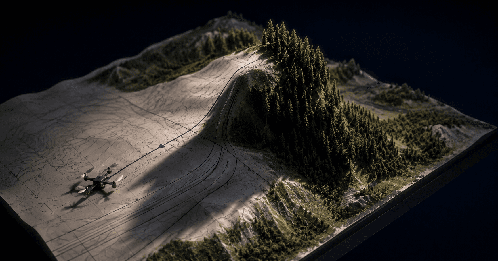
A bit of background. At Blue Octopus Technology, we capture real places in 3D — drive an aircraft over a property, a venue, a job site, and turn the footage into a navigable, photo-realistic model you can fly through in a web browser. To do that well, the drone has to fly a precise pattern: parallel strips, consistent altitude, the right overlap between passes. Flown by hand, that's tedious and inconsistent. So we generate the flight path as a file and let the drone fly it automatically.
Generating that path is exactly the kind of thing software is good at. Draw a boundary, set an altitude, get a tidy grid of waypoints. The first time we did it, over a flat open ballfield, it worked beautifully. Clean strips at 40 meters, sharp photos, a great 3D model.
So we did it again at the same park, on a slightly bigger area. Same method. Same altitude. Same confidence.
What "40 meters" actually means
Here's the trap, and it's a good one because it sounds like a non-issue until it costs you the drone.
When you tell the drone to fly at 40 meters, that height is measured from where it took off — not from the ground beneath it at any given moment. Over a flat field, those are the same thing. Forty meters off the launch point is forty meters off the grass the whole way.
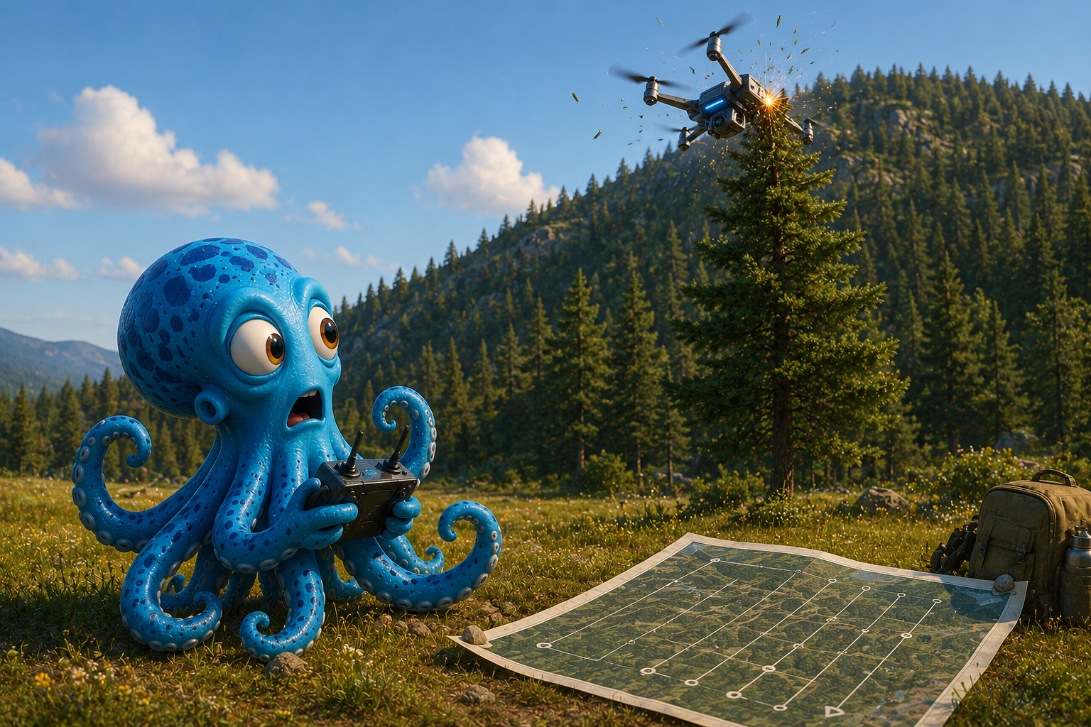
But the second flight's grid extended back over ground that rises — a hillside behind the launch field, covered in tall trees. The drone held its 40 meters above the takeoff point faithfully. Meanwhile the ground under it climbed, and the treetops climbed with it. By the far end of one strip, the trees were taller than the drone's flight line.
This particular drone has no obstacle avoidance. Nothing watches for the tree. It flew the path it was given, reached the end of a strip near the treeline, clipped a branch poking up just before the turn, and that was that.
The operator did everything right — noticed the prior pass had skimmed the treeline, knew 40 meters was getting tight over the slope, even started mid-strip to avoid the worst section. Didn't matter. The path was doomed from the moment it was drawn.
The actual lesson, and it isn't "don't use AI"
It would be easy to walk away from this saying the planning tool was bad, or that we shouldn't automate flights. Both are the wrong lesson.
The right lesson is this:
The plan was generated from a flat map. The world it flew through was not flat. The tool didn't know what it didn't know — and neither did we, until a tree did.
The software had a 2D outline of the park and an altitude number. It did not have the heights of the trees. It did not have the shape of the hill. It produced a flight path that was internally perfect — tidy, even, correct by every rule it was given — and externally lethal, because the rules it was given left out the one thing that mattered: the ground truth.
That phrase — ground truth — is the whole game. It's the difference between what a model knows and what's actually out there. An AI will give you a clean, confident, plausible answer built entirely out of what you fed it. If what you fed it is missing the wooded slope, the answer will sail right into the wooded slope, and it will look great doing it. The same blind spot, from the other direction, is how a model of ours ended up calling cars bicycles.
Where this shows up in a business — not just a swamp
You're probably not flying drones. But you are, or soon will be, handing AI a task where the plan looks perfect and the ground truth is missing.
An AI writes a customer email sequence that's flawless — and doesn't know your best customer just had a complaint. It generates a pricing model that's elegant — built on last year's costs. It drafts a schedule that's optimal — for a crew that's actually one person short this week. In every case the output is clean, confident, and shaped exactly by the data it had. The danger isn't that AI is sloppy. The danger is that it's tidy in a way that hides what it doesn't know.
The fix isn't to stop using it. The fix is to treat every confident AI plan as a draft that needs a reality check against the messy world before it touches anything that costs money or can't be undone. For us, that now means: no generated flight path flies over ground we haven't walked or flown before, and new areas get flown high — 60 to 80 meters — until we've proven lower is safe. A drawn boundary that stays inside the park is not a safety margin. The park has woods in it.
We learned that the expensive way so you can learn it the cheap way. The drone owed us nothing. The lesson was worth more than the drone.
That's not a knock on the tool. It's the price of forgetting that the map is not the territory — and that an AI only ever sees the map.
Keep reading
More from the field.
Stay Connected
Get practical insights on using AI and automation to grow your business. No fluff.